
ON THIS PAGE
Which birds and where?
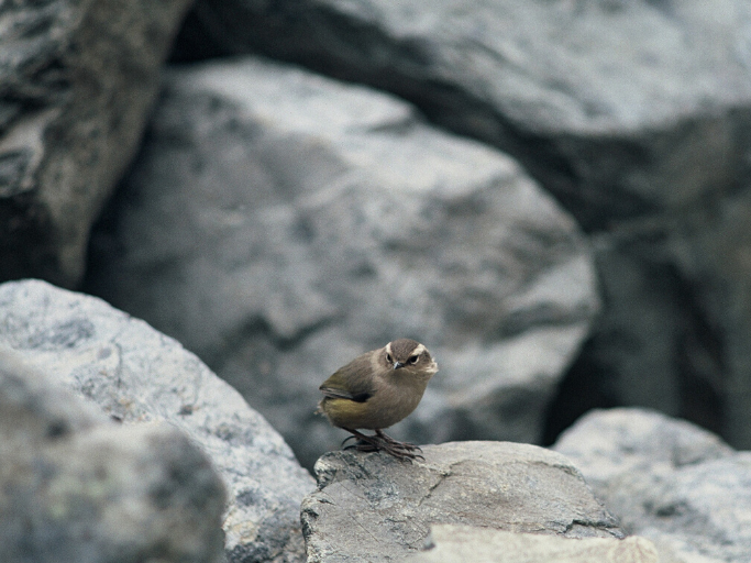
Which birds you monitor will depend on the area, the season, the weather, bird behaviour and habitat(s).
If you need some guidance on identifying birds, Birds NZ is an online encyclopaedia filled with photos, descriptions, locations, and audio recordings of native birds (see their ‘identify that bird’ guide on the homepage).
Manaaki Whenua – Landcare Research also has a useful summary of local birds (both native and introduced), including bird calls.
See further down the page for more resources and links.
Which name(s) to use
It is important to note that there are often different names for NZ birds. Which name(s) to use depends on the context, e.g. regional, academic, social. Different iwi may also have their own name for a bird.
For example:
- Scientific name (Anthus novaeseelandiae)
- English name (New Zealand pipit/lark)
- Māori name (pīhoihoi)
Census vs. survey
There is some jargon associated with bird monitoring: for example, a census is an exact (or complete) count of a population within a small, specific area, usually involving birds that are easy to spot and not particularly mobile. A survey is an estimate (or incomplete count) based on observing a sample population over a particular period of time. All surveys involve certain biases (the time of day chosen, assumptions made by the person observing, etc.).
Surveys are able to be carried out by ‘citizen scientists’ (i.e. anyone who’s willing) and are vitally important indicators of local bird populations and also of the wider environment.
The 5 minute bird count
The 5MBC is a quick, popular method for getting a sense of local bird populations. Learn how to do a 5 minute bird count (popular in backyards and other urban areas), and see below for other methods.
Aerial photo counts

This method is popular for difficult-to-reach locations when monitoring colonies of surface-nesting seabirds (e.g. penguins, albatrosses, gannets). Their nests are usually large and easy to spot. Useful for estimating population changes over time by taking photos of fixed locations, and often historical photos provide a ‘photopoint’ from which to continue.
Advantages include that it creates a permanent record and also provides long-term data from historical photos. However, there are certain limitations, e.g. bird numbers may vary throughout the day. Also relies on the clarity of photos. Photo counts should be carried out for at least three consecutive years, taken on the same date as earlier photos. If possible, best undertaken along with ground-based photo counts (see below).
See DOC’s information on performing aerial photo counts of seabirds.
Ground-based photo counts
Useful for monitoring colonies of surface-nesting seabirds (penguins, albatrosses, gannets, etc.) along with aerial photo counts. Involves similar pros and cons (see above).
See DOC’s information on performing ground-based photo counts of seabirds.
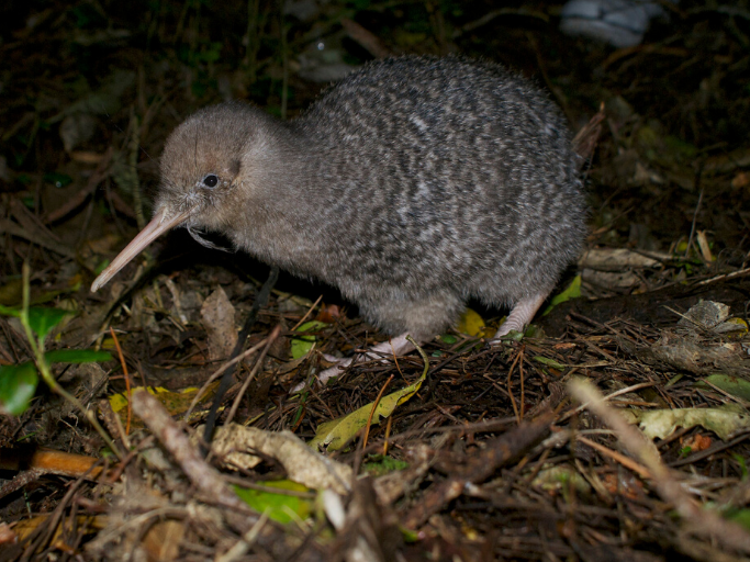
Kiwi territory mapping
Kiwi are extremely territorial birds that tend to stick with one area and one partner. Their calls allow them to form partner bonds and also maintain territory ownership. However, kiwi behaviour varies between, and sometimes even within, different species.
DOC has a kiwi call monitoring programme where trained staff sit in the bush and listen for two hours over four nights at a particular location.
They also track kiwi movements from radio tags, the size of their footprints, and using trained conservation dogs. Kiwi monitoring requires good knowledge of the area and training/accreditation.
If you have kiwi in your area, contact your local DOC officer for advice. (Here’s their information on kiwi territory mapping.)
Mātauranga Māori
Mātauranga is also used for determining and recording the historical presence of bird species in an area. (See our article on Mātauranga Māori)