Productive land such as farms, horticulture and lifestyle blocks make up 60% of the land area in New Zealand and often contains native vegetation. Such land could – and often already does – make a significant contribution towards conservation goals.
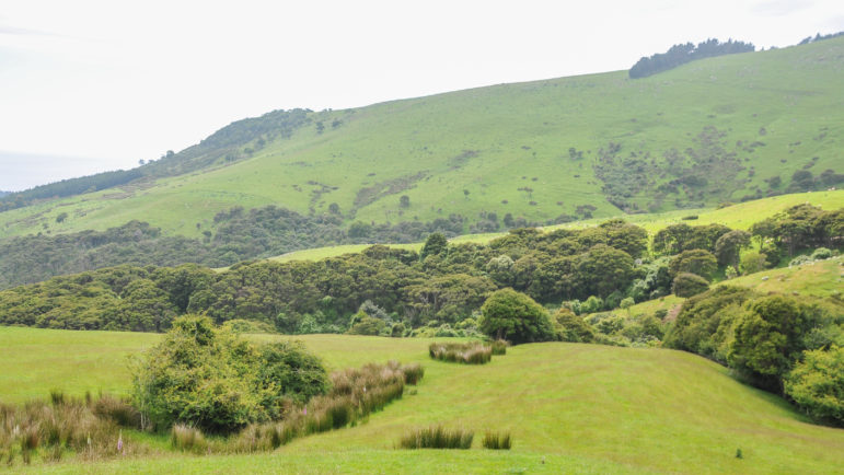
But currently we know very little about the amount and types of native vegetation located on farmland. Researchers Jennifer Pannell, Hannah Buckley, Bradley Case and David Norton set out to remedy that knowledge gap.
“In this study, we used nationally-available land cover and land-use datasets to address:
(1) how much native vegetation remains in agroecosystems in New Zealand and
(2) what contribution can native vegetation on farmlands, especially the native woody component, make to biodiversity conservation?”
Planet-wide, humans have grabbed most of the best land for their own purposes. Realistically we can’t expect the rest of the world’s species to survive on just the imperfect ‘leftover bits’ that we haven’t found a use for yet. We need to find better ways to share.
“Land that has been appropriated for human use, food and fibre production, and urbanisation is estimated to cover 75% of the planet’s ice-free surface. Despite global destruction of natural habitats, considerable native biodiversity still survives in human-dominated landscapes, including in agroecosystems, potentially providing habitat for native flora and fauna and increasing connectivity of reserves.”
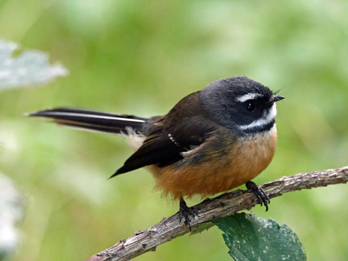
In New Zealand, we can’t rely solely on public conservation lands for habitat provision. It simply isn’t adequate for achieving national conservation goals. Fortunately many native species are already managing to live among us.
“While conservation in agroecosystems cannot replicate conservation in natural habitats, many native species do persist in modified landscapes, performing important ecological functions (e.g. pollination, carbon sequestration) and retaining cultural and heritage values. These species may sometimes be the only remaining examples of the original ecosystems in those modified landscapes. Sustaining and enhancing native biodiversity in agroecosystems while balancing production with ecological benefits is thus increasingly prominent in ecological discourse.”
There is already a growing interest in restoration plantings on farmland, but a major difficulty in designing multifunctional agricultural landscapes is that conservation action on private land is usually voluntary, and thus it may not occur in the places that public conservation managers might prefer.
“Knowing where biodiversity occurs in farming landscapes is therefore the first step to maintaining and improving it, and quantifying the amount, distribution, and condition of remaining native vegetation is critical for landscape-scale conservation planning. Such information may indicate where to focus on improving connectivity and condition of native vegetation for maximum benefit. However, our understanding of landscape-level biodiversity is often lacking for agroecosystems, partly due to the difficulties in collecting data on private land. In New Zealand, previous assessments of native vegetation cover have been undertaken (such as the “land under indigenous cover” environmental indicator), but to date there has been no assessment of how multiple native vegetation cover types vary by land use and farm type.”
In their research, recently published in the New Zealand Journal of Ecology, the authors present a nationwide GIS assessment of the distribution of native vegetation on private land and conservation reserves in New Zealand, showcasing the value of farmland in designing landscape-level conservation plans.
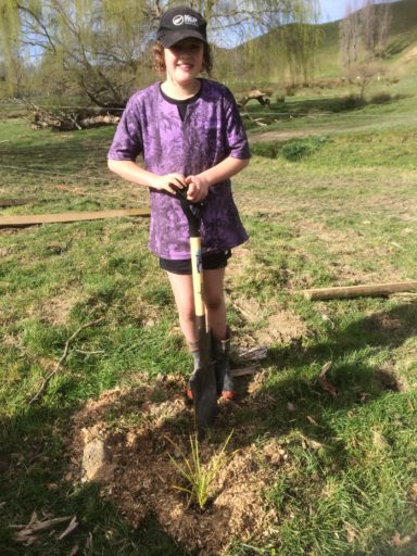
“Our study aimed to bridge this gap by using GIS and remote-sensing data to estimate the area of native vegetation, including forests, grasslands and wetlands, present on different land-use classes and in different environments. This study is, to our knowledge, the only national-scale assessment of native vegetation on farmland.”
New Zealand is dominated by a single type of extensive farmland (sheep and beef grazing), accounting for approximately 40% of the land area, but New Zealand landscapes have been modified for farming relatively recently, so the native flora and fauna are still in a state of disequilibrium.
“The steep topography of many sheep and beef farms protects some forest remnants, and coupled with lower livestock densities, this results in more native vegetation surviving than in more intensive farming, e.g. dairy. There is substantial public pressure on New Zealand farmers to reduce their environmental footprint, and the primary sector increasingly acknowledges the potential economic, social and ecological benefits of on-farm conservation.”
While New Zealand has a relatively large amount of land set aside as ‘conservation estate, it is not fully representative of the full range of ecosystems that occurred before human settlement. Like many other countries, protected land in New Zealand is biased towards uplands and that makes remnant and regenerating native vegetation on farmland of particular conservation interest.
Satellite imagery was used to quantify vegetation types.
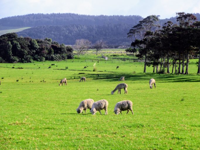
“We quantified the distribution of native vegetation types on the North and South Islands of mainland New Zealand using the Land Cover Database (LCDB) version 4.1 (Landcare Research New Zealand 2015). The LCDB is a national-scale land cover dataset covering the full spatial extent of New Zealand, derived from multispectral satellite imagery and updated over the last decade with supplemental image and ground data. This version of the database is based on 2012 satellite imagery.”
“We aggregated the following ten LCDB classes, traditionally dominated by native species, into a “native vegetation” layer: alpine grass/herbfield; tall tussock grassland; depleted grassland; flaxland; fernland; mānuka and/ or kānuka; broadleaved indigenous hardwoods; sub-alpine shrubland; matagouri or grey scrub; and indigenous forest. A second layer, “native forest”, comprised the LCDB classes: mānuka and/or kānuka; broadleaved indigenous hardwood; and indigenous forest. The third layer, “wetlands”, comprised the classes: herbaceous freshwater vegetation; herbaceous saline vegetation; lake or pond; and mangrove. Finally, the “grasslands” layer comprised alpine grass/herbfield; tall tussock grassland; and depleted grassland classes.”
While these LCDB classes don’t directly measure animal biodiversity or even fully measure native plant biodiversity, the researchers argue that they are an appropriate proxy as native vegetation cover is likely to be positively correlated with the presence of other native species (compared to non-native vegetation cover, such as pasture).
“We used public and commercial land use spatial layers to classify land use across the whole of New Zealand as one of eight general land use categories: arable, conservation, dairy, forestry, horticulture, sheep and beef, urban and ‘other’.”
The authors found that while most of the country’s remaining native vegetation was on public conservation land, it was not evenly distributed across land environments and was biased towards high-elevation vegetation types.
“Sheep and beef farms, followed by public conservation land, were the two dominant land-use classes in the North and South Islands of New Zealand, comprising c. 40% and 31% of the 27 million ha total land area respectively. Dairy, “other” (lifestyle blocks, other grazed livestock e.g. deer, privately owned reserves) and plantation forestry were also nationally significant land uses, all similar in size and accounting for a further c. 26% of the land area. The remaining land uses (horticulture, arable and urban) covered approximately 2% of the land area, with 1% outside of the classification scheme (e.g. roads, bodies of water)”.
A total of 43% of the New Zealand land area was comprised of remaining native vegetation, of which 30% was native woody vegetation. The remaining 57% of the land area was dominated by non-native vegetation and consisted mainly of pasture and plantation forest.
remaining native vegetation (61.5%) and native woody vegetation (65%) occurred. However, sheep and beef farms contained nearly 25% of the remaining native vegetation, and 17% of the remaining native woody vegetation. In contrast, dairy pasture contained little native (1.4%) or native woody vegetation (1.9%). This absence is also true of plantation forestry (2.8% and 3.8%, respectively). In contrast, land use described as “other” contained a considerable amount of remaining native (10%) and native woody vegetation (11%).”
Thus private land, in particular sheep and beef farms, contained a quarter of the remaining native vegetation in the country, and 17% of remaining native forest.
“While this vegetation was often highly fragmented, it contained forest types that were otherwise under-represented on public conservation land.”
When it came to native grasslands and particularly native wetlands, sheep and beef farms didn’t score so highly.
“Native grasslands (as opposed to pastures dominated by exotic species) were nearly equally distributed between public conservation lands (52.1% of the remaining area) and sheep and beef farms (44.7%), together comprising nearly all remaining native grasslands. Wetlands were a minor component in all non-public conservation land-use categories, both in terms of total area and percentage of remaining wetland. The majority of New Zealand’s remaining wetland vegetation was found on public conservation land (36.3%) or on land not classified by our analyses, which was predominantly riverbeds, estuaries, lakes and coastlines (54.3%); the percentage of total wetland area on sheep and beef farms was negligible (0.6%).
The authors also calculated and compared the degree of fragmentation of native vegetation remnants.
“The distribution and density of native vegetation was different between public conservation land and sheep and beef farms. Native vegetation on public conservation land covered on average 35 ± 37 (± SD)% of each 5 km grid cell, whereas on sheep and beef farms it covered 15 ± 20%; thus, it was more fragmented on sheep and beef farms. By mapping only the native woody vegetation component, these patterns became more pronounced, also highlighting the fact that sheep and beef farms contained native vegetation in areas with little public conservation land. Woody vegetation comprised a mean of 28 ± 33% of each 5-km cell area on public conservation land, and 8 ± 12% on sheep and beef farms.”
Potential forest types on sheep and beef farms were also compared with those on public conservation land, with recognisable differences between the two.
“Native woody vegetation on sheep and beef farms tended to represent different land environment classes (inferred forest types) to native woody vegetation on public conservation land. Generally, land environments at lower elevations tended to have less native woody vegetation remaining than those at higher elevations and furthermore, at lower elevations little forest occurs on public conservation land. Instead, at low elevations, a large proportion of the native forest present occurs on sheep and beef farms. Similarly, in land environments that are cooler and wetter, most of the forest remaining tends to occur on public conservation land, while in warmer, drier classes most remaining forest occurs on sheep and beef farms.”
Finally, the authors assessed the proportion of native vegetation which is protected by covenants.
“As of 30 June 2017, approximately 170 000 hectares of native vegetation in New Zealand was protected by QEII covenants. Of this area of covenanted vegetation, 53% was on sheep and beef farms. However, only c. 3% of all native vegetation present on sheep and beef farms had been covenanted (38,385 hectares of forest, 48,833 hectares of grassland, and 25 hectares of wetland).”
The researchers conclude that sheep and beef farms in New Zealand have the potential to add to nationwide conservation efforts. However, realising this potential will involve improving the connectivity, area and quality of native vegetation.
“Despite the apparent potential of this woody vegetation to contribute to biodiversity, the forest patches on farmland are often highly fragmented in a landscape context. If patches are suitably large and connected, they may be used as stepping stones or permanent habitat; but this will vary by species. For example, North Island brown kiwi (Apteryx mantelli) can travel over 300 metres between forest patches, while North Island robins (Petroica longipes) are reluctant to travel more than 80 metres between remnants. Depending on the species of interest and the surrounding matrix, patch size and connectivity are key to improving biodiversity.”
Predator issues and stock fencing also need to be addressed.
“In addition to the spatial characteristics of forest patches, to improve their biodiversity value it will be vital to improve their quality as in agroecosystems they may be severely degraded due to the presence of livestock and pests. Stock trampling reduces understorey plant and invertebrate diversity and in New Zealand, predator control is vital for any conservation effort. However, fragment quality can sometimes be restored with adequate fencing, predator control and replanting, although recovery may be slower in drier or cooler regions.”
“Because sheep and beef farms contain c. 25% of the remaining native vegetation nationally and comprise 40% of the land area, they are uniquely poised to complement public conservation land by increasing the area and especially the landscape connectivity of native habitat. However, we recognise that the key to securing longterm sustainability in farm landscapes is working closely with land-owners, as well as having systems in place to support conservation actions on farm.”
The full research article is published in the New Zealand Journal of Ecology and is freely available online.
The significance of sheep and beef farms to conservation of native vegetation in
New Zealand (2021)

