The secret lives of Taranaki’s pet cats are currently being revealed – thanks to project funding from Curious Minds which has enabled the purchase of 60 cat harnesses fitted with GPS tracking devices. If you live in Taranaki and you’ve always wondered where your cat goes when it’s not at home, now is your chance to find out. The result may surprise you.

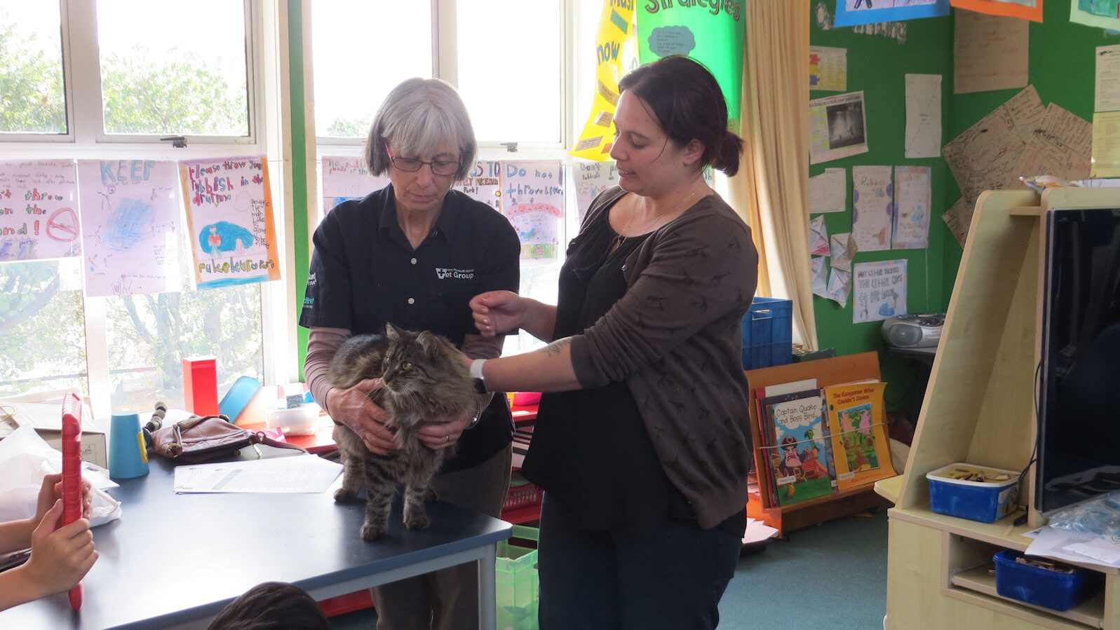
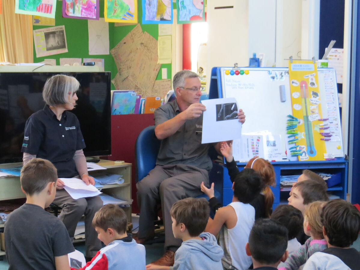
Wild for Taranaki are managing the project – titled ‘Tracking Furbabies’. They have been assisted by M.A.I.N. (Mapping, Analysis and Information Network) Trust and New Plymouth Vet Group. They’ve enlisted the help of children from 3 local schools, Highlands Intermediate, Central School (New Plymouth) and Makahu School (East Taranaki).
Elise Smith is Chairperson of MAIN Trust NZ.
“We are the ‘Science Partner’ for the Curious Minds project. The Trust runs the online office services with Geographic Information Systems (GIS), hosts the online maps and videos, coordinates the surveys, data management and the interpretation. I like the GIS work and making the videos,” Elise says, “I also facilitated the original application with the schools and the New Plymouth Vets support, and like visiting the schools with Jo.”
Jo Fitness is a zoologist and studied cave weta taxonomy and systematics for her PhD.

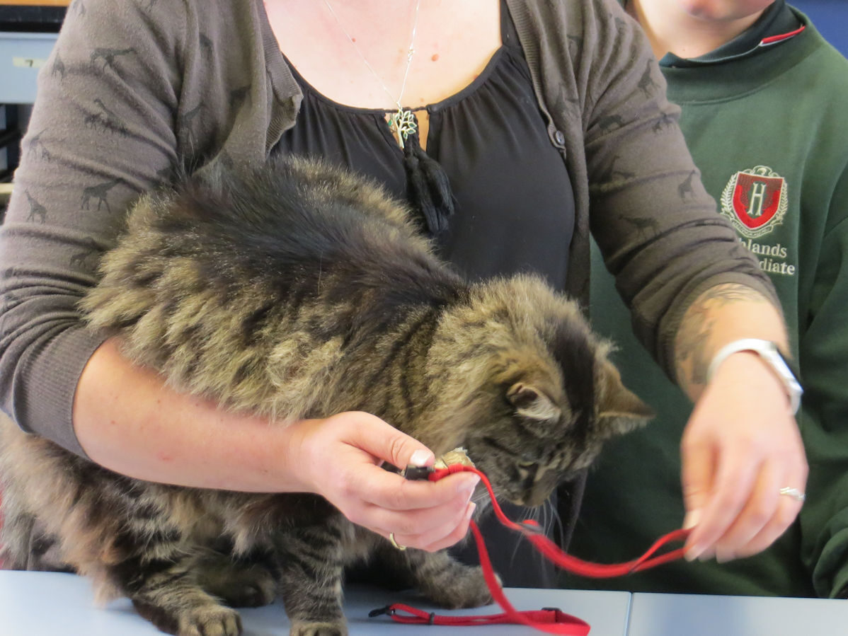
“Jo is the Administrator – setting up all the GPS units and distributing them to the schools,” Elise explains. “Her role involves demonstrating how to fit harnesses, retrieving the units, downloading the GPS data to the online office system, doing GIS work, and also visiting and talking to schools.”
As well as tracking their own pet’s movements, the school pupils wrote questions for an online questionnaire. Taranaki cat-owners who complete the initial questionnaire are also asked whether they wish to take part in the second, tracking part of the research, where their cat’s movements are tracked night and day for 7 days.
“So far 58 people have completed the questionnaire and have their cats in the tracking programme, with more in the pipeline,” according to Elise. “Privacy will be protected,” Elise is careful to point out. “People who are participating can choose to share their cat’s photo or mapping if they want to, but otherwise the results will be private.”
The results of each cat’s travels is then mapped, and published on the Furbabies Gallery to show the tracks, and day and night preferences. The range of each cat has also been calculated.

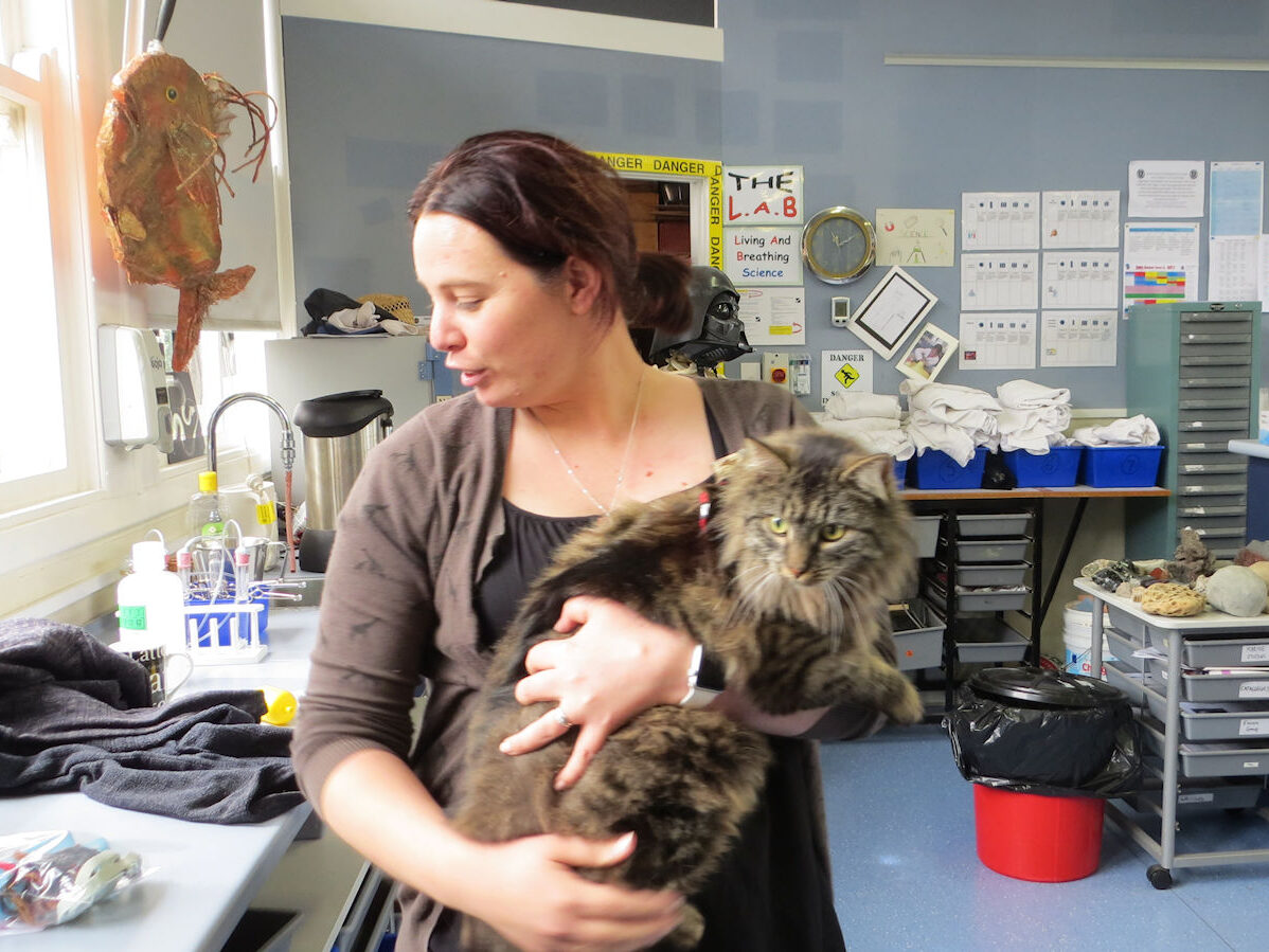
If other pet cats are anything like ‘test cat’ Cinnamon, then their owners may be in for some surprises.
Cinnamon’s extensive travels not only put her own safety at risk, but could easily take her into sensitive wildlife areas.
“Cinnamon is a favourite,” says Elise, “because she is so energetic, and she demonstrates just how far pet cats can wander.”
It will be revealing to see whether Cinnamon’s roaming is typical of cats in the study. But what do we know about Cinnamon herself?
“Cinnamon is a beautiful ‘Moggie’. She lives with two other cats in a peri-urban area and was adopted from a Trade Me advert,” says Elise. “She is very independent, 5 years old, and does hunt. She brings in rats, mice, ducklings and lizards.”
Cinnamon’s wandering is currently completely unrestricted by her owners.
“She can come and go from the house as she pleases,” says Elise, “and has access to food at all times. She has companionship – with two stay-at-home cats, and a scratching post. Her owners did not know where she was going to, as she spends a long time away from home, and were keen to discover her secret life. They thought that she travelled long distances, well beyond the neighbours … and she does!”
The tracking devices are small and shouldn’t interfere with the daily activities of the feline participants and so will be a realistic picture of how far Taranaki’s cats roam. The GPS unit ‘pings’ the cat’s position 24 hours per day at 3 minute intervals.
“The GPS devices are tiny – about the size of an electronic car key,” says Elise. “They’re bundled in tape so that they don’t get chewed and attached to a soft harness. It’s light and – like a walking harness – fits behind the ‘armpits’ of the cat’s front legs. They don’t seem to get hooked on things (like a collar might).”

After one week, Jo Fitness collects the harness and downloads the GPS data to computer where GIS software converts the data to dots on a map. Jo and Elise then check for obviously wrong ‘pings’ where the satellite hasn’t been working properly. If the cat enters a tunnel, the system can get confused at the lack of signal and give a clearly incorrect position – out at sea for example!
A further step in the visualisation process is to use the QGIS ‘time manager’ software.. That generates a ‘video’-style sequence of where the cat is going over a time period – showing the actual travels, rather than just a static picture of all the dots on a map.
Once the survey and mapping results are in and the secret lives of pet cats revealed, children from the 3 participating schools will be making recommendations about how cat owners might better protect vulnerable wildlife and keep their pets safe from potential dangers such as road injuries or consuming poisoned rats or mice. Cat owners will be able to see if the cat range reaches into gullies with wildlife, protected bush areas, or Key Native Ecosystems which have pest eradication programmes. The GIS can show the owners where their cats range, and the danger areas.
Ultimately it’s about encouraging responsible ownership.
“I’ve got a bag of data from the vet,” says Elise, “It’s all the details about injured birds that have been brought in. We want to know if cats are going into ecological areas. We want to engage people and get people thinking.”
Already the school pupils have had some interesting results from tracking their own cats. Makahu School, for example, is a rural school in East Taranaki.
“They’re rural cats and can go anywhere, but we found that they stay away from open paddocks and go where there are clumps of bushes,” Elise says.
The school is also near where North Island robins live, so the children – and researchers – are interested in whether the robins are at risk from Makahu pets.
“There are key native ecosystems for Taranaki that are under covenants,” says Elise. “We want to know if they are also hangouts for pet cats.”
The schools have all had one turn with the GPS devices but some are going to have one more go – now that the weather is better – to see whether there are seasonal differences in the wanderings of their pets. Elise is keen to get results in and complete the project with the children before the end of term.

